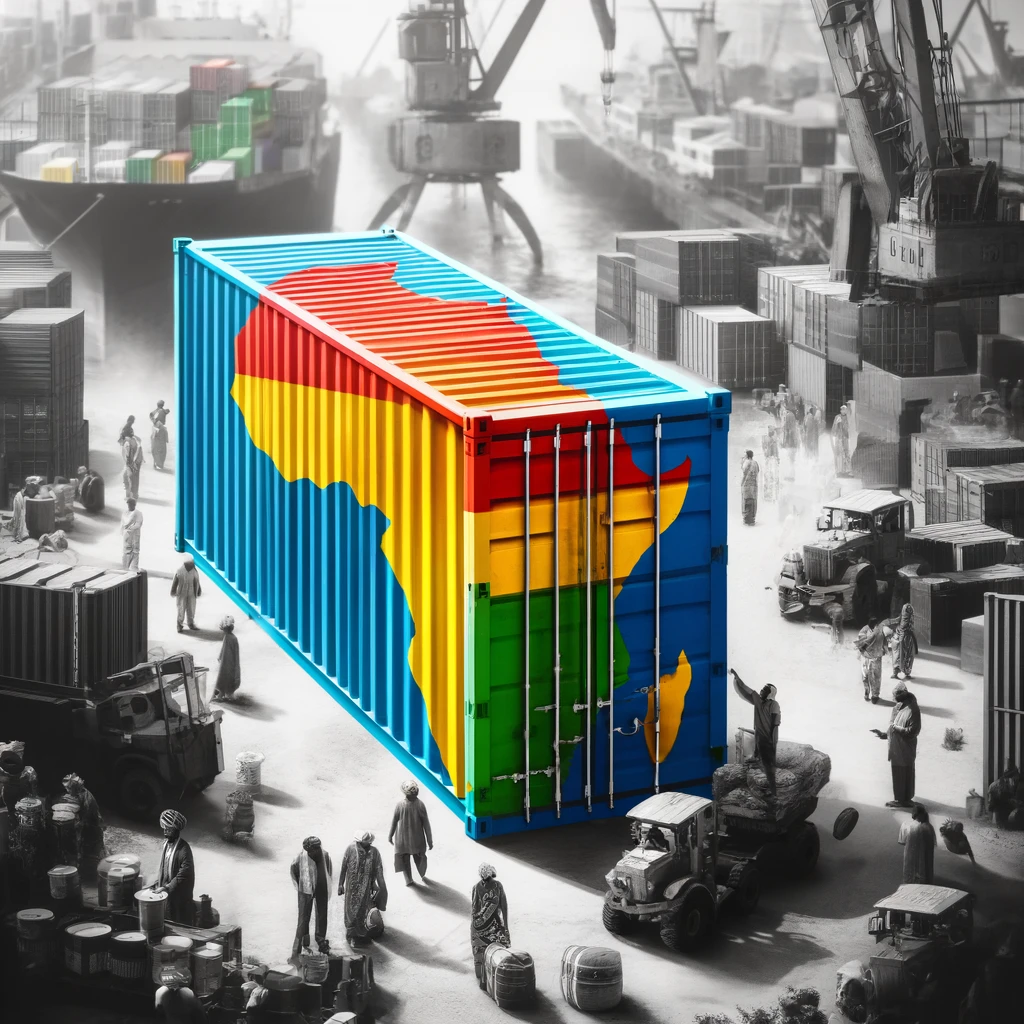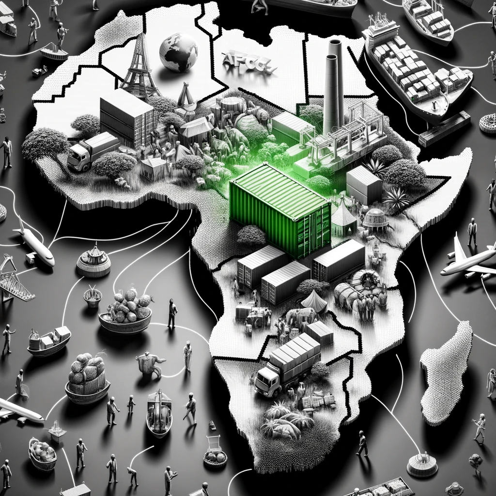
Did you know the Mercator projection, a map style we’ve commonly used since 1569, significantly distorts the true size of continents, especially Africa?
This historical map projection, initially designed for nautical navigation, makes regions near the poles, like Greenland and Russia, appear much larger than they are, while equatorial areas, notably Africa, are minimized.
Compare the Mercator Map to the Equal Earth map below!


Why does this matter in today’s global context?
▪ Educational Impact: Accurate maps cultivate a genuine understanding of world geography, correcting misconceptions and promoting global awareness among students and professionals alike.
▪ Geopolitical Insight: Maps influence our perception of world power and importance. Accurately depicting the true size of nations fosters a more balanced and equitable geopolitical perspective.
▪ Cultural Respect: Proper representation on maps can enhance the visibility and recognition of diverse cultures, contributing to global respect and appreciation.
▪ Environmental Consciousness: Understanding the real scale of continents and countries can change our perspective on environmental challenges and the role different regions play in addressing global issues.
▪ Practical Utility: For navigation, resource allocation, and planning, accurate maps are indispensable, ensuring efficiency and reliability in various professional and personal activities.
The new standard map should be the Equal Earth Map or similar, which offers a more accurate, proportional view of our world, promoting a fair and informed global understanding.
Further reading: https://lnkd.in/d7mAK5Hq


